

 TheQuartering
 Redacted News
 TheSaltyCracker

 SoloMan Zone
 RT
RT
 AgentofSocialMediaChaos

 X22 Report
 Timcast IRL
 The Alex Jones Show
 Life_N_Times_of_Shane_T_Hanson
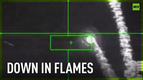


 Tim Pool
Top-secret US ‘Manta Ray’ sea drone not so secret thanks to Google Maps
Top-secret US submarine drone ‘Manta Ray’ is a brand new design that has only just gone through full-scale testing. Manufacturer Northrop Grumman have been keen to keep details under wraps, outside of a few CG renders and other press-friendly teasers. And if you want to know more about the top-secret drone, take a good look at it and know exactly where it is, good news, you can see it on Google Earth.
The Manta Ray is currently docked at Port Hueneme naval base in California, and thanks to Google’s satellite data, the drone’s triangular, winged form is proudly on display to anyone on the planet with access to a phone. As of the writing of this post, it’s still up, although some users have reported that an edited version without the top-secret drone is starting to be served instead.
When launched, the Manta Ray will be capable of moving autonomously underwater, ‘hibernate’ on the seabed to conserve power, and can deliver payloads to targets without human intervention, or detection. Well, not unless you’re looking at Google Earth.

0
Log in to comment